Astir Marina Landscape and Public Realm is an urban project in the seaside suburb of Vouliagmeni. The architecture practice Neiheiser Argyros developed a landscape design proposal that maps the history and current pressures on the site, overlaying different systems and stories.
The landscape design is a giant map of the history and current pressure on the site, literally drawn into the hardscape of the new marina. Like the map in Borges’ short story ‘On the Exactitude of Science’ the project is a map that is as accurate as the reality it represents.
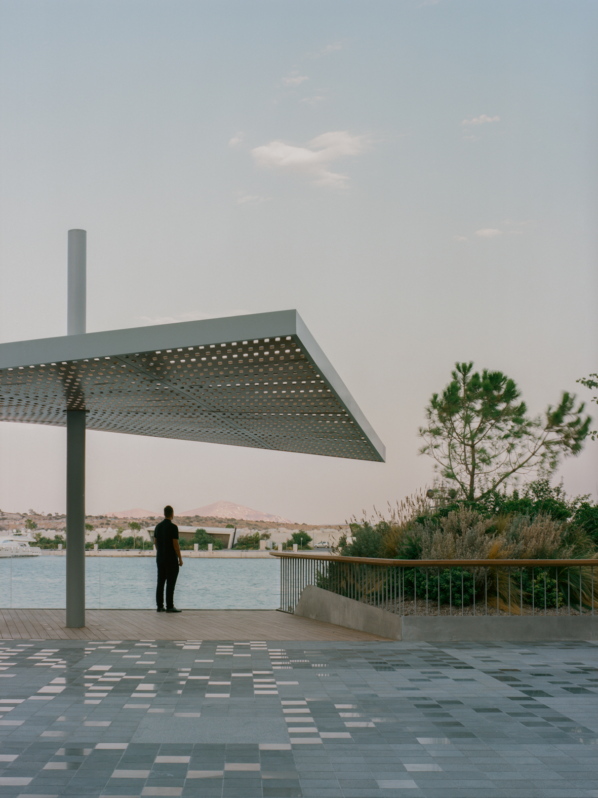
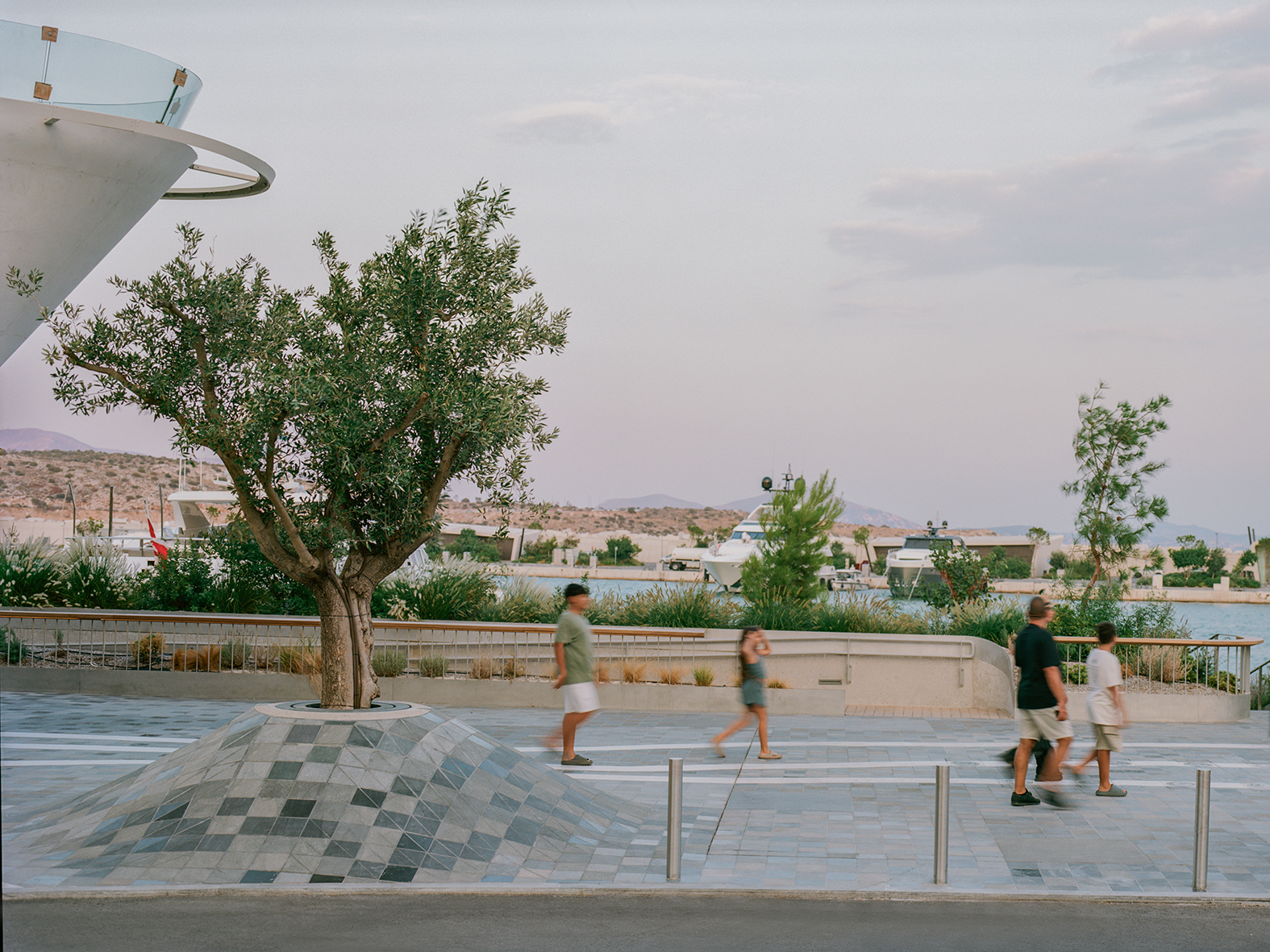
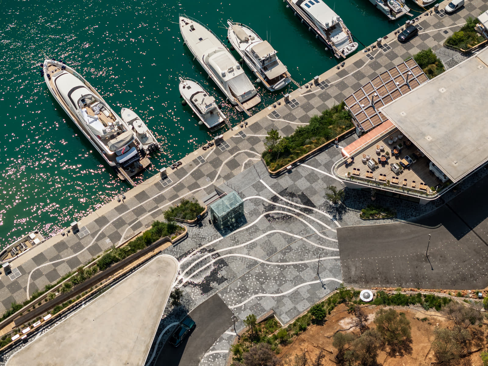
The map is the territory… The Astir Marina project is conceived as an overlay of different systems – the graphic inspiration of nautical maps, the materiality of the site, the local and the global creating a productive friction.

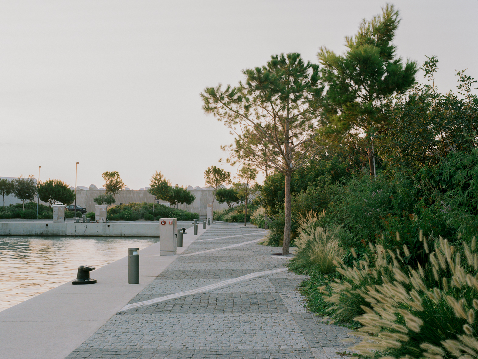
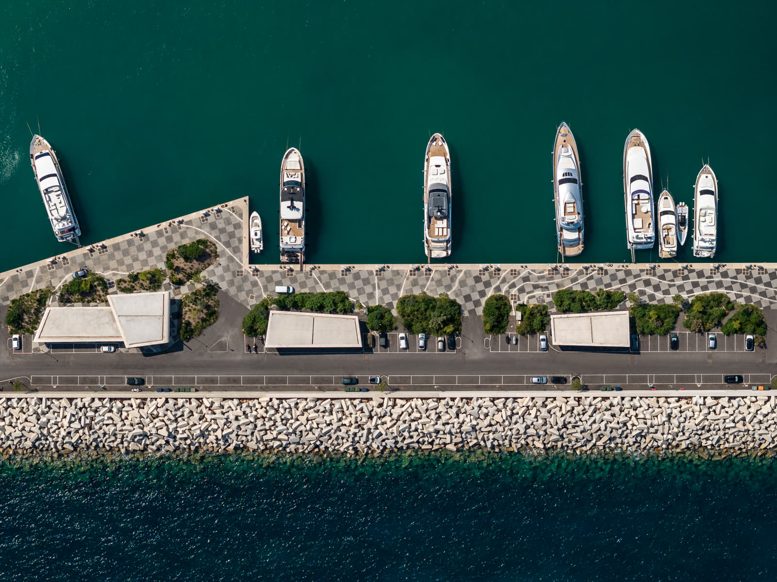
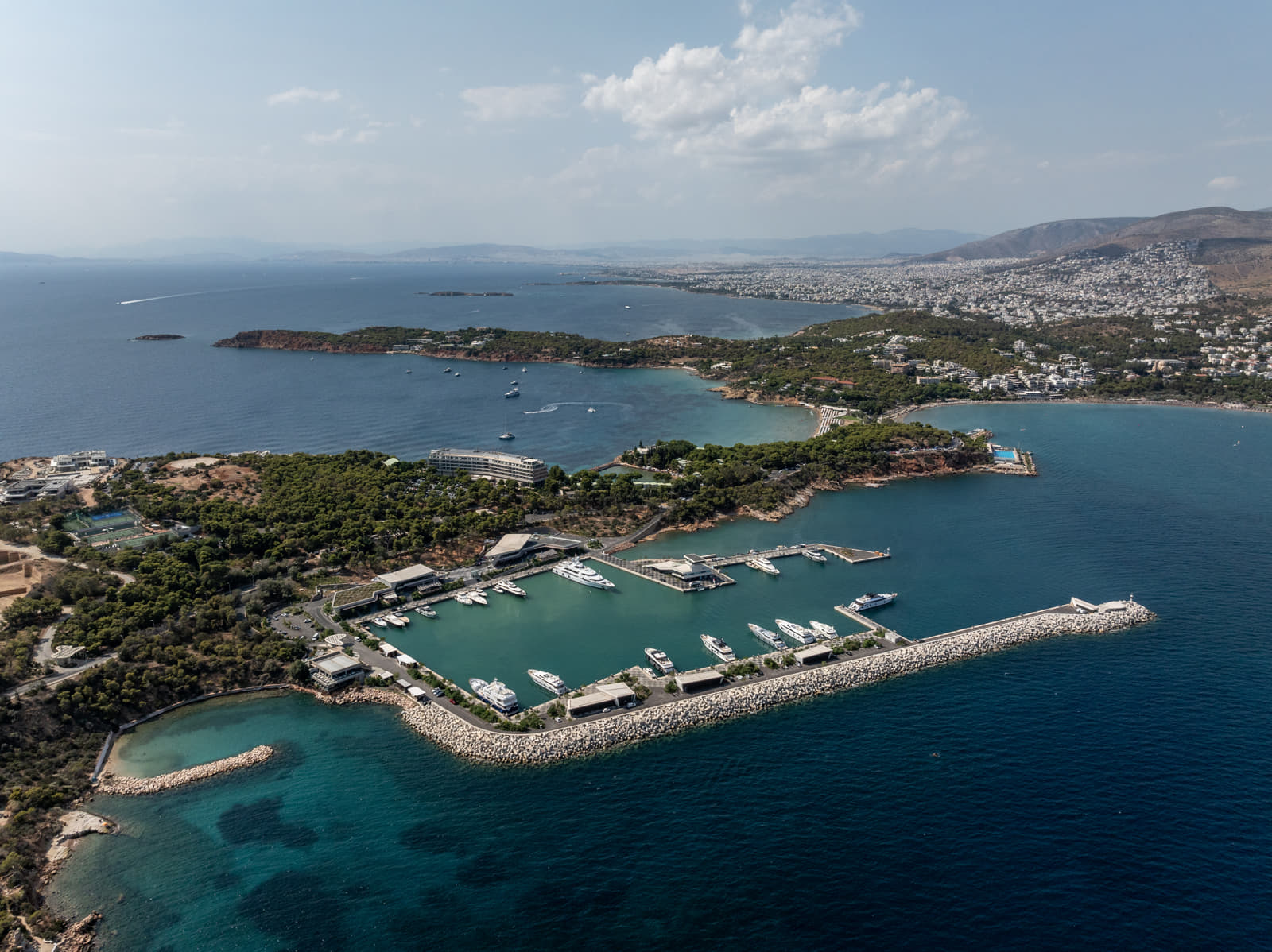
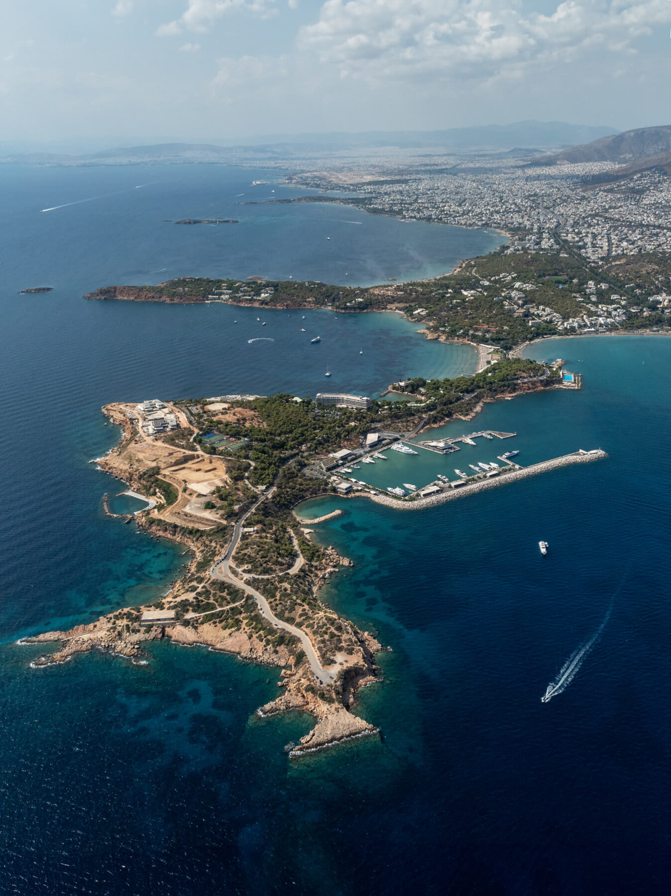
The site for the Astir Marina is the Vouliagmeni Peninsula, a lush pine forest along the south coast of Athens, Greece. However, since it’s a marina, the actual site is also the new engineered ground that is being constructed in the sea.
The concept for the project emerges out of the unique challenge of designing a landscape where there is currently no land.


One way of thinking about this lack of land is that it’s a blank site – a void – a tabula rasa. But of course this isn’t the case. The sea makes invisible the complex and dynamic ecosystems of the sea bed which is continuous with the visible ground.

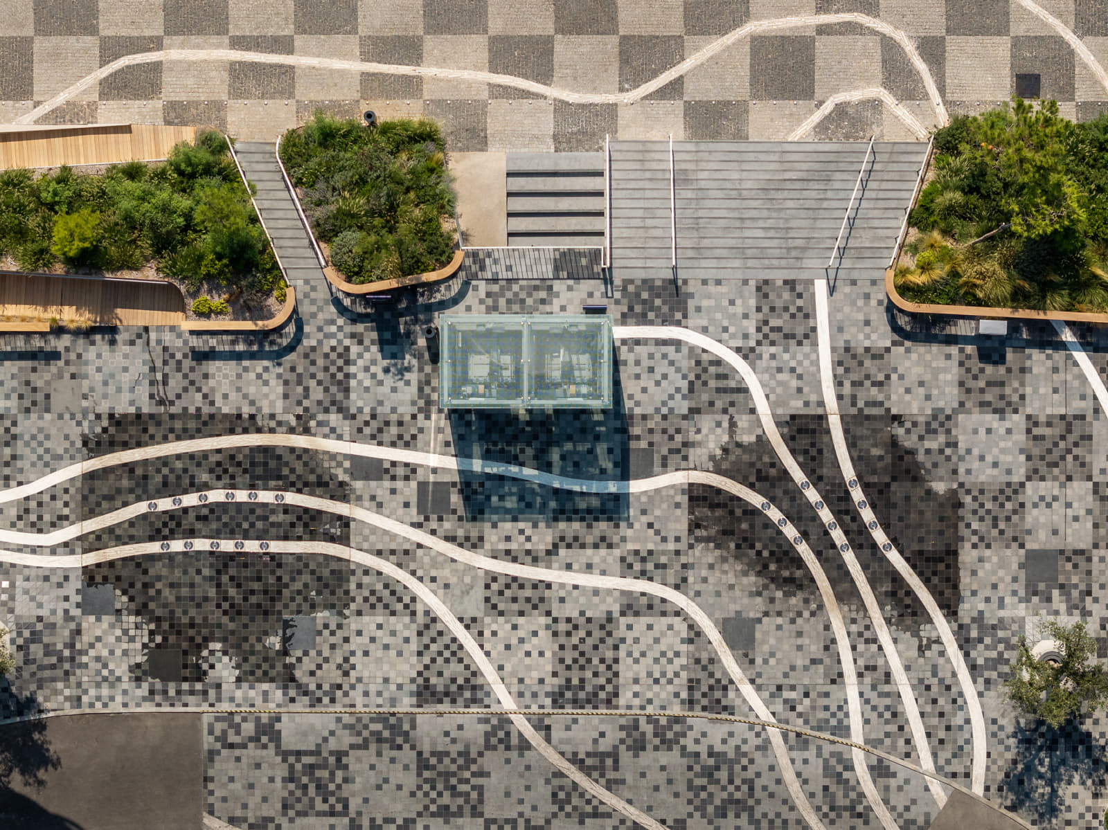
We started by looking at ways of representing this sea landscape; the nautical charts and maps that use elevation marks, contours, wind vectors, gradients of color, and hatches to represent the territory that is both above and below the water line.
We were particularly inspired by the aesthetic of topographic contours, traces of the ground projected onto a flat 2d surface.


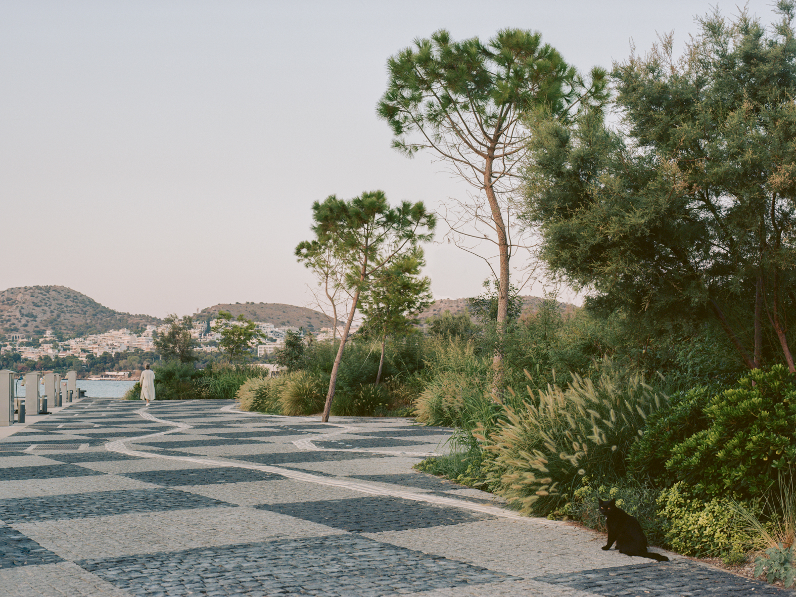
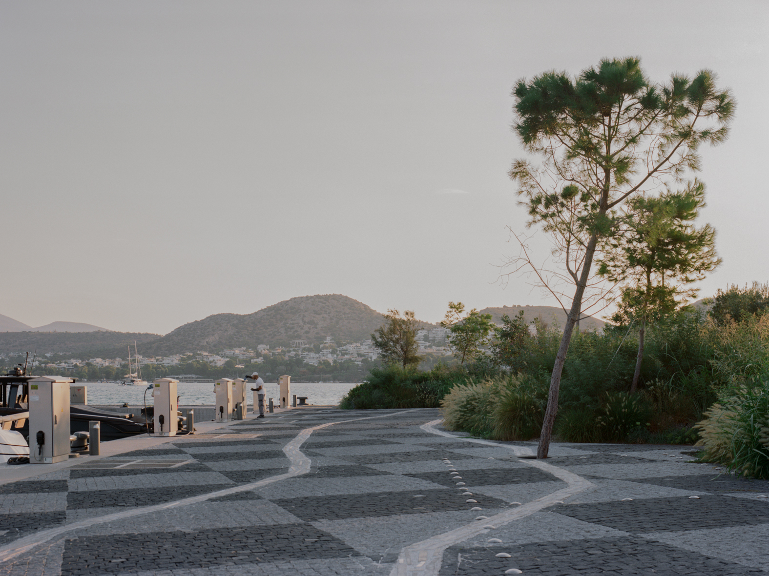
We looked back at the geographic history of the site, using old military aerial scans from World War II, in order to discover the original or “natural” shape of the ground, with its beaches, and coves, and islands. We found this prehistory really exciting and wanted to try and tell the geologic story of this site in our design. We therefore overlayed the historic contours with the marina outline generated by the marine engineers for the project.
This marina outline shape is obviously a response to different forces – the logistics of yacht movement, and the economies of mooring spaces, along with the need to resist the winds and waves.
We were interested in the overlap of the history of the site with the new logics, so found the literal projection of the historic contours onto the new flat infill a compelling new image for the project.
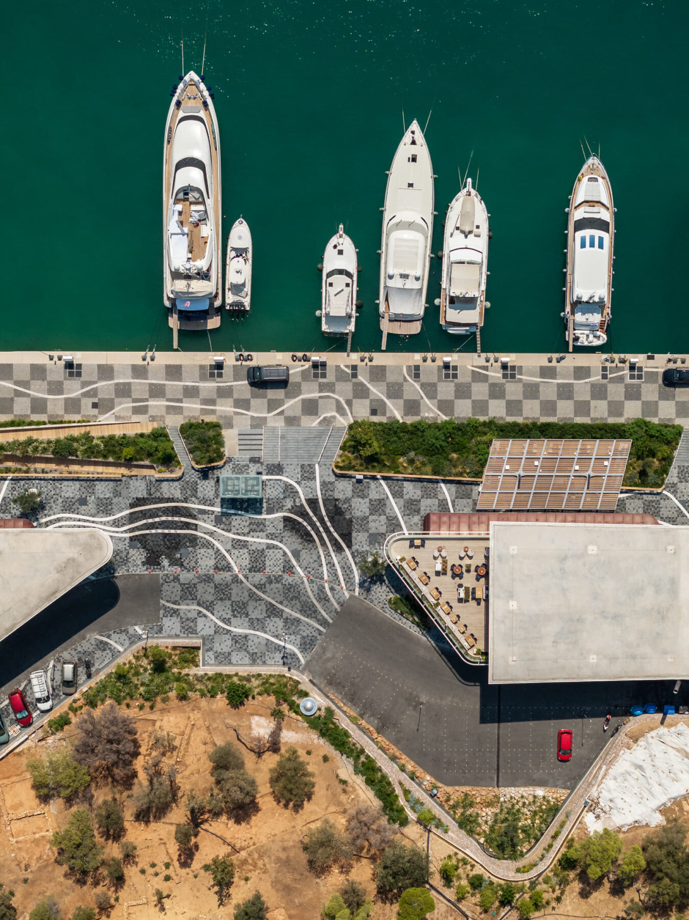
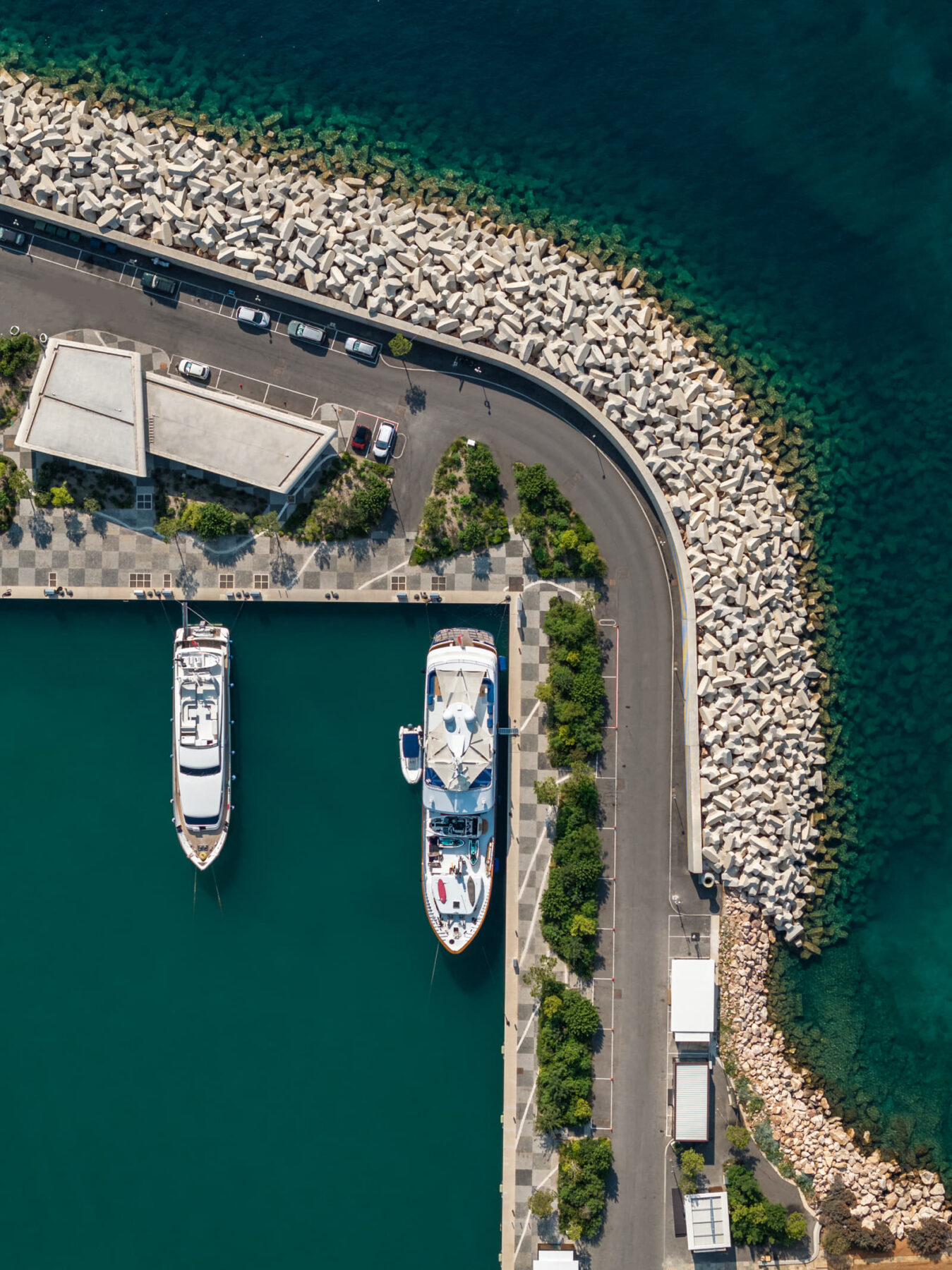
In addition to these contours, we overlayed a new 2m local grid (oriented to the central marina basin) with the global grid.
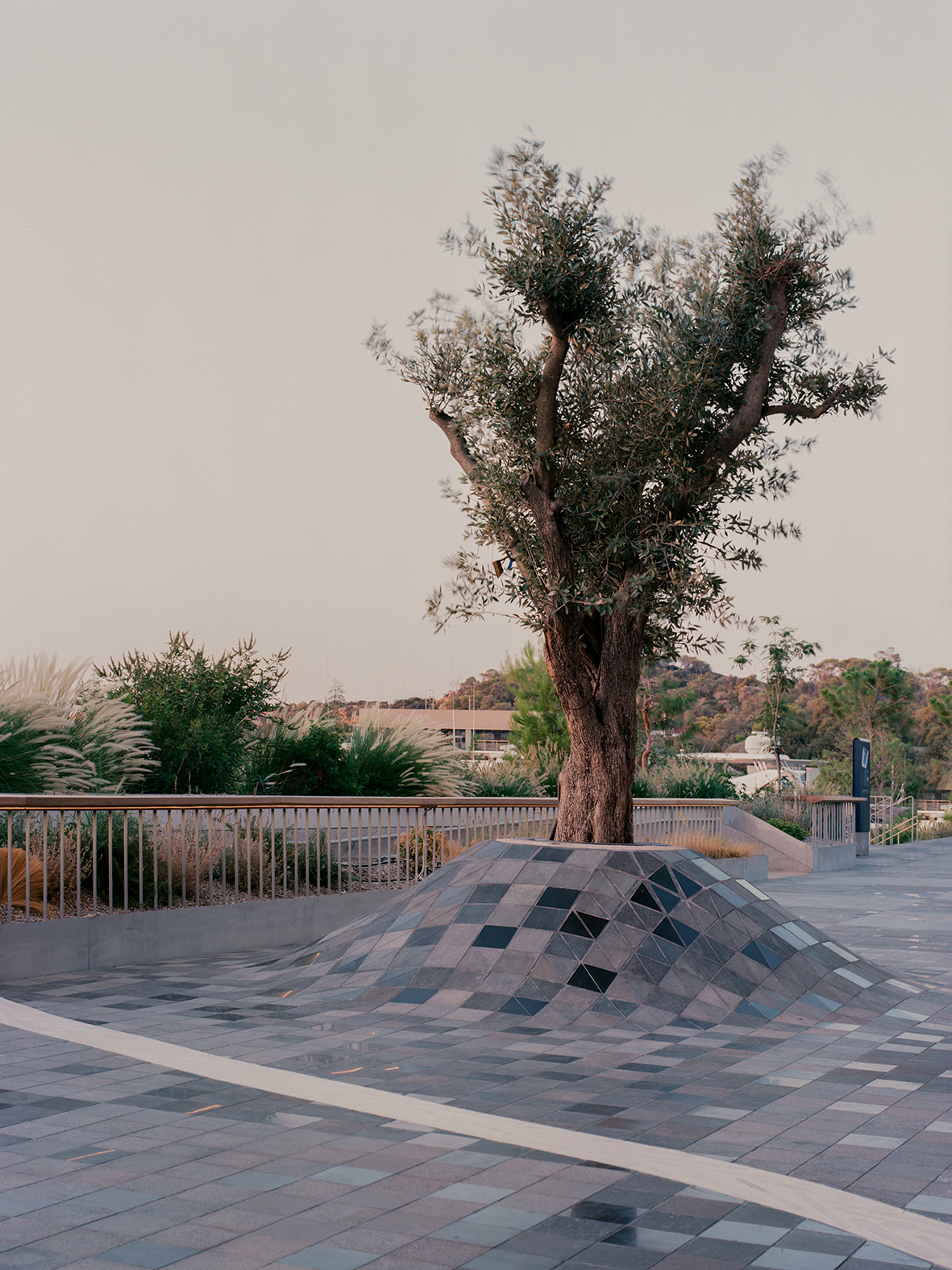
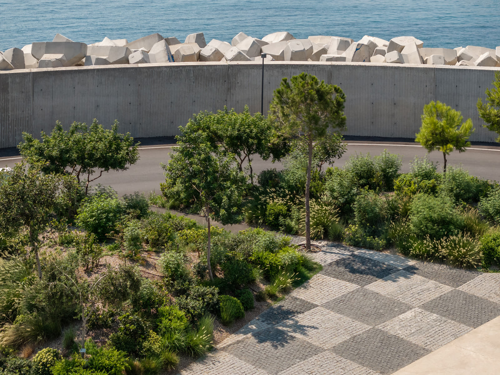
And next we created our own green islands on the site, landscaping barriers between the water’s edge and the cars on the site; but shaped like tiny new artificial islands.
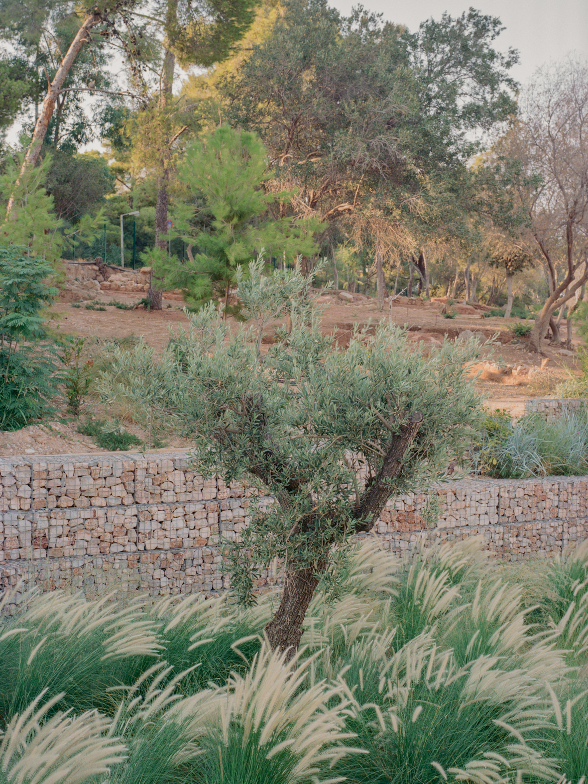
Of course there are many other motivations for the project; the history of the midcentury modern resorts adjacent to the site, along with the ancient history, the material logics, the local flora and fauna. But the project is also inherently global in its ambitions… to be a worldclass marina, and a shopping destination with global brands, etc.
Facts & Credits
Title Astir Marina Landscape and Public Realm
Typology Landscape, Architecture
Location Athens, Greece
Status Completed, 2024
Landscape and Public Realm Architecture NEIHEISER ARGYROS
Softscape Consultant SRLA Simon Rackham
Neiheiser Argyros Team Ryan Neiheiser, Xristina Argyros, George Foufas, Tasos Theodorakakis, Eleni Vagianou, Iason Ntounis, Alkisti Michelatou, Andreas Anagnostopoulos, Pelagia Spyridonidou
Preliminary Masterplan of Marina Land Zone KSE Studio
Photography Lorenzo Zandri, Giorgos Sfakianakis
Text by the authors